Description
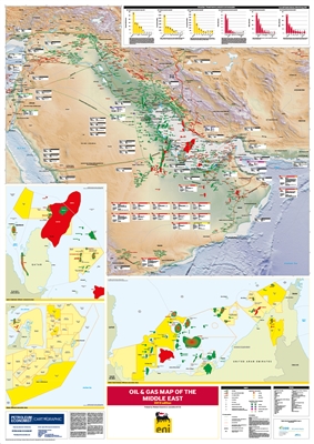
The map has comprehensive data, charts and
illustrations to give authoritative analysis of
trends in the Middle East oil and gas sector.
Features
- Mapping:
- Digital terrain model base map of Middle East region
- Oil and gas pipelines, including those planned, proposed and under construction
- Major oil and gas producing areas/fields
- LNG import regasification terminals by status [existing, under construction and planned]
- LNG export liquefaction plants by status [existing and planned]
- Oil refinery (Start date, operator and capacity in barrels per day)
- Tanker terminals
- Oil storage
- Gas processing plant
- Underground gas storage (planned/proposed)
- Offshore Qatar and Bahrain concession areas
- Offshore Oman concession areas
- Offshore United Arab Emirates concession areas
- Oil and gas proved reserves, production and consumption 2018 (by selected Middle East countries)
- Detailed call-out boxes for individual LNG import and export facilities
