Description
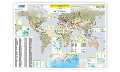
Comprehensive data, charts and illustrations are used within the map to give authoritative analysis of trends in the deepwater energy sector.
Features
- Mapping:
- Third Generation mapping, with high-definition satellite derived imagery
- Major oil/gas fields,
- major oil/gas pipelines
- Listings of deepwater fields by region including operator, field name, discovery date, onstream date, field status, water depth (metres) and development type.
- Water depth analysis, development analysis and development status.
- Deepwater Gulf of Mexico,
- Deepwater Angola and Congo and
- Brazil's Campos Basin
